
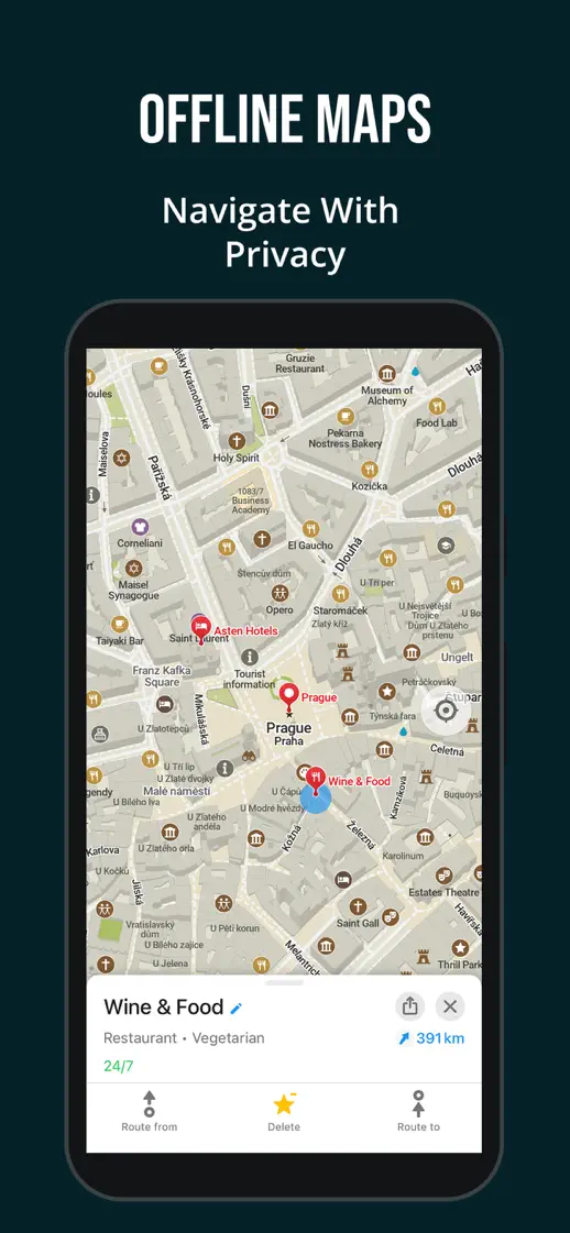
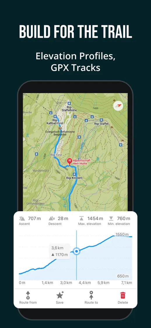
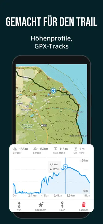
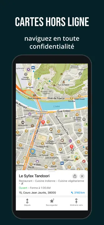
Dark teal panels and condensed headings keep the maps prominent, with occasional icon-only panels interrupting the repeated phone layout.


- Category
- Navigation
- Publisher
- Organic Maps
- Version
- 2026.09.29
- Approach
- Interface-led
App preview
Around the world
More localized listings →









What’s New
2026.09.29
## Routing
• Improved alternative routes and their estimated arrival times
• Added buttons for adding or replacing a stop in a planned route
• Added a setting to optimize the order of intermediate route stops
• The selected alternative route is now preserved when navigation recalculates the route
• The order of route stops is now restored after restarting the app
## Map
• OpenStreetMap data as of September 28
• Wikipedia data as of September 21
• Water reservoirs are now visible when zoomed further out
• Waterway tunnels are no longer shown on the map
• Fixed Suzhou Metro station and entrance icons
• Fixed rare cases where labels shifted out of position on the metro map layer
## CarPlay
• Added maneuver instructions on supported car head-up displays (HUDs) and the CarPlay dashboard
• Fixed CarPlay buttons and search
## Tracks
• Added an eye icon to hide individual tracks
• Fixed bugs and improved track recording
• Fixed importing KMB files
## Search
• Fixed searches when the visible map area crosses the 180° meridian (±180° longitude)
• Restored category search in Spotlight
## UI
• Opening hours now display “Noon” for 12:00 and “Midnight” for 00:00 or 24:00
• Fixed various bugs and improved the user interface
• Corrected English, French and Asturian translations
• Added support for choosing and previewing an installed navigation voice
2026.09.05
### Map & places
• Updated OpenStreetMap data as of August 26, 2026
• Updated Wikipedia articles in Arabic, Bengali, Chinese, English, French, German, Hindi, Italian, Japanese, Korean, Marathi, Polish, Portuguese, Russian, Spanish, Tamil, Telugu, Turkish, and Urdu
• Added bird hides, stages, hills, and natural arches to the map, plus a new icon for rocks
• Resized peaks, caves, and mountain passes icons
• Protected areas, national parks, and wetlands are now displayed in lighter shades
• Fixed many issues that caused opening hours to be displayed incorrectly
• Reorganized settings into General, Map, Navigation, Network, and Privacy sections
• Removed the compass calibration setting because calibration is now handled automatically
• Fixed compass issues that could cause the current-position arrow to point in the wrong direction or freeze
• The corresponding point is now shown on the map while you drag across the elevation profile in a walking or cycling route preview
• Fixed an app freeze and an issue that occasionally caused taps and gestures to be ignored
### Sharing, bookmarks & tracks
• NEW: Added multi-selection to the Bookmarks and Tracks list, with batch actions to delete, move, and change the color of selected items, plus Select All and Deselect All
• Added AirDrop support for sharing places
• Sharing a place, bookmark, or current position now sends a readable link with useful information
• Exported bookmarks now preserve their original names and descriptions
• Shared bookmark lists now use their displayed names instead of internal file names
• Fixed an elevation chart display issue that could occur immediately after starting a track recording
• Restored the custom color picker in the color palette popover
• Fixed the rendering of HTML descriptions when a bookmark is selected on the map
### Routing & navigation
• NEW: Added a CarPlay dashboard and fixed multiple CarPlay issues
• Fixed the activation of the car navigation map style
• Tapping a route stop or mark now opens it correctly instead of switching between planned routes
• Public transport routes are now planned faster
• Fixed incorrect turn instructions
• Fixed an incorrect start point after a route was rebuilt
• Laterite roads are now treated as having a poor-quality unpaved surface during route planning
• Roads tagged `access=unknown` are now handled like roads with private or destination-only access
### OpenStreetMap editor
• Fixed a crash when an OpenStreetMap upload finished in the background
• Clearing the opening hours field no longer leaves the Save or Done button disabled
• Uploads that partially fail are now retried instead of being reported as fully successful
### Translations
• Added voice guidance in Armenian and Lao
• Updated Help/Frequently Asked Questions (FAQ), added Japanese translation
• Corrected the Japanese translation of "Closed now"
• Improved the Chinese translations of "track" and "disable"
See the detailed release notes at https://omaps.org/news/
2026.08.27
### Map & places
• Updated OpenStreetMap data as of August 26, 2026
• Updated Wikipedia articles in Arabic, Bengali, Chinese, English, French, German, Hindi, Italian, Japanese, Korean, Marathi, Polish, Portuguese, Russian, Spanish, Tamil, Telugu, Turkish, and Urdu
• Added bird hides, stages, hills, and natural arches to the map, plus a new icon for rocks
• Resized peaks, caves, and mountain passes icons
• Protected areas, national parks, and wetlands are now displayed in lighter shades
• Fixed many issues that caused opening hours to be displayed incorrectly
• Reorganized settings into General, Map, Navigation, Network, and Privacy sections
• Removed the compass calibration setting because calibration is now handled automatically
• Fixed compass issues that could cause the current-position arrow to point in the wrong direction or freeze
• The corresponding point is now shown on the map while you drag across the elevation profile in a walking or cycling route preview
• Fixed an app freeze and an issue that occasionally caused taps and gestures to be ignored
### Sharing, bookmarks & tracks
• NEW: Added multi-selection to the Bookmarks and Tracks list, with batch actions to delete, move, and change the color of selected items, plus Select All and Deselect All
• Added AirDrop support for sharing places
• Sharing a place, bookmark, or current position now sends a readable link with useful information
• Exported bookmarks now preserve their original names and descriptions
• Shared bookmark lists now use their displayed names instead of internal file names
• Fixed an elevation chart display issue that could occur immediately after starting a track recording
• Restored the custom color picker in the color palette popover
• Fixed the rendering of HTML descriptions when a bookmark is selected on the map
### Routing & navigation
• NEW: Added a CarPlay dashboard and fixed multiple CarPlay issues
• Fixed the activation of the car navigation map style
• Tapping a route stop or mark now opens it correctly instead of switching between planned routes
• Public transport routes are now planned faster
• Fixed incorrect turn instructions
• Fixed an incorrect start point after a route was rebuilt
• Laterite roads are now treated as having a poor-quality unpaved surface during route planning
• Roads tagged `access=unknown` are now handled like roads with private or destination-only access
### OpenStreetMap editor
• Fixed a crash when an OpenStreetMap upload finished in the background
• Clearing the opening hours field no longer leaves the Save or Done button disabled
• Uploads that partially fail are now retried instead of being reported as fully successful
### Translations
• Added voice guidance in Armenian and Lao
• Updated Help/Frequently Asked Questions (FAQ), added Japanese translation
• Corrected the Japanese translation of "Closed now"
• Improved the Chinese translations of "track" and "disable"
See the detailed release notes at https://omaps.org/news/
2026.07.23
• New "Save search history" setting helps you keep your search history private if needed
## Map & places
• OpenStreetMap data as of July 14
• OpenStreetMap notes are now placed at the exact location you select, instead of in the middle of the forest
• Improved map selection for regions that cross the 180° antimeridian
• Track elevation profiles no longer show stale or empty charts after a track is removed
• Improved the empty elevation chart for recorded tracks
• The button for removing bookmarks is easier to find
• Automatic bookmark saving when you leave the edit screen
• The color palette includes predefined colors and lets you choose any custom color
• Other UI improvements
## Public transport
• Stop, transfer, and station names now use a white outline to remain readable in both light and dark themes
• The subway layer reappears correctly after you close a public transport route preview
## Routing & navigation
• Fixed issues with wrong and missing directions
• Route warnings (tolls, ferries, unpaved roads, stairs, etc.) are now shown for all alternative routes
• Fixed a rare freeze while building a route and improved handling of dead ends and start/finish points on a restricted road
• Improved route progress on the start button
• Reordering route stops no longer makes the list jump around
## Translations
• Improved Chinese wording
• Updated Ukrainian translations
• Fixed translations of map regions in Italian
2026.07.15
• New "Save search history" setting helps you keep your search history private if needed
## Map & places
• OpenStreetMap data as of July 14
• OpenStreetMap notes are now placed at the exact location you select, instead of in the middle of the forest
• Improved map selection for regions that cross the 180° antimeridian
• Track elevation profiles no longer show stale or empty charts after a track is removed
• Improved the empty elevation chart for recorded tracks
• The button for removing bookmarks is easier to find
• Automatic bookmark saving when you leave the edit screen
• The color palette includes predefined colors and lets you choose any custom color
• Other UI improvements
## Public transport
• Stop, transfer, and station names now use a white outline to remain readable in both light and dark themes
• The subway layer reappears correctly after you close a public transport route preview
## Routing & navigation
• Fixed issues with wrong and missing directions
• Route warnings (tolls, ferries, unpaved roads, stairs, etc.) are now shown for all alternative routes
• Fixed a rare freeze while building a route and improved handling of dead ends and start/finish points on a restricted road
• Improved route progress on the start button
• Reordering route stops no longer makes the list jump around
## Translations
• Improved Chinese wording
• Updated Ukrainian translations
• Fixed translations of map regions in Italian
2026.06.24
- NEW! Public transport routing by subway, light rail, bus, and tram
- NEW! Alternative routes: in addition to the fastest route, the app now shows the shortest route
- NEW! Walking and cycling route warnings about steps, gates, and lift gates along the way
- NEW! Tap to choose between overlapping tracks and routes
- NEW! Select any color for bookmarks
- NEW! Support for British National Grid (OS Grid), Irish Grid, and Irish Transverse Mercator (ITM) coordinates
- NEW! Accessibility support for Dynamic Type and large fonts
- EXPERIMENTAL: Enable Satellite Imagery in Organic Maps settings with a custom raster tile server URL
- Cleaner table styling in the UI
- Type `?map-download-server:https://your-server.com/` in the search window to override the Organic Maps map download servers. Type `?no-map-download-server` to remove the override.
- Various bug fixes and performance improvements
## Map Data
- OpenStreetMap data updated as of June 24
- Wikipedia data updated as of June 20, including articles in Italian
## Map rendering & styles
- Better-looking patterns for beach, sand, scree, bare rock, orchard, and vineyard areas, plus protected area and wetland hatching
- Smoother curved text labels for roads and rivers
- Rivers, streams, and wetlands have higher contrast and are more visible in dark mode
- New and improved icons for category search and search results on the map
- Improved multilingual text shaping and rendering on the map
## Tracks, bookmarks & routes
- Improved HTML rendering of bookmark and track descriptions
- GeoJSON tracks now keep elevation and timestamps on import and export
- Fixed a crash after moving a track to another list
- Websites are now shown for heritage sites
- Operator names are now shown for unnamed search results. For example, an unnamed ATM now shows its bank
- Editor: corrected the description text for apartment-building OpenStreetMap edits/changesets
- Improved HTML detection in bookmark and track descriptions
- Duplicate routes are now filtered out
## Translations
- Cantonese turn-by-turn voice guidance
- Updated German and French translations
- Fixed incorrect "onto street" voice guidance translations for Chinese, Serbian, and Catalan
2026.06.01
• Track text and HTML descriptions are now supported, the same way as descriptions for bookmarks. Press the pencil icon to add a description.
• OpenStreetMap data as of May 27, 2026
• Text-to-Speech (TTS) now picks the best installed voice for the language (Enhanced / Premium). See Organic Maps settings for how to download a higher-quality voice.
• Added Australia and New Zealand road shields
• Added icons for boules, cycling, and motorsport places
• Added ceremonial gates, water slides, theme parks, and roller coasters
• Improved finger gestures for map control in perspective view during Navigation mode
• Fixed a track-renaming bug where the new name was not properly updated
• CarPlay: fixed the recenter button
• Fixed public transport routes for stations and other area objects
• Fixed crash when adding a bookmark on a hiking or cycling route
• Fixed rendering of speed limits for speed cameras
• Fixed antimeridian zoom-out with more than one world copy
• More accurate display of street and house addresses
• Fixed unnecessary map animations
• Stability and performance improvements
## Translations
• Improved French, Italian, Spanish, Ukrainian, Catalan translations
• Updated translations for several country and region names, fixed search synonyms for `leisure=track`
• Corrected translations for `disused:bridge` and `disused:tunnel`
2026.05.27
• Track text and HTML descriptions are now supported, the same way as descriptions for bookmarks. Press the pencil icon to add a description.
• OpenStreetMap data as of May 27, 2026
• Text-to-Speech (TTS) now picks the best installed voice for the language (Enhanced / Premium). See Organic Maps settings for how to download a higher-quality voice.
• Added Australia and New Zealand road shields
• Added icons for boules, cycling, and motorsport places
• Added ceremonial gates, water slides, theme parks, and roller coasters
• Improved finger gestures for map control in perspective view during Navigation mode
• Fixed a track-renaming bug where the new name was not properly updated
• CarPlay: fixed the recenter button
• Fixed public transport routes for stations and other area objects
• Fixed crash when adding a bookmark on a hiking or cycling route
• Fixed rendering of speed limits for speed cameras
• Fixed antimeridian zoom-out with more than one world copy
• More accurate display of street and house addresses
• Fixed unnecessary map animations
• Stability and performance improvements
## Translations
• Improved French, Italian, Spanish, Ukrainian, Catalan translations
• Updated translations for several country and region names, fixed search synonyms for `leisure=track`
• Corrected translations for `disused:bridge` and `disused:tunnel`
Listing history
Kit checks this listing every day, most recently on 17 Oct 2026. Changes to its screenshots, icon, subtitle, videos and events will show up here.
Compare with


Browse similar
Source: App Store listing by Organic Maps OU, United States storefront. Captured 17 Oct 2026. The artwork belongs to its publisher and is shown here for reference.